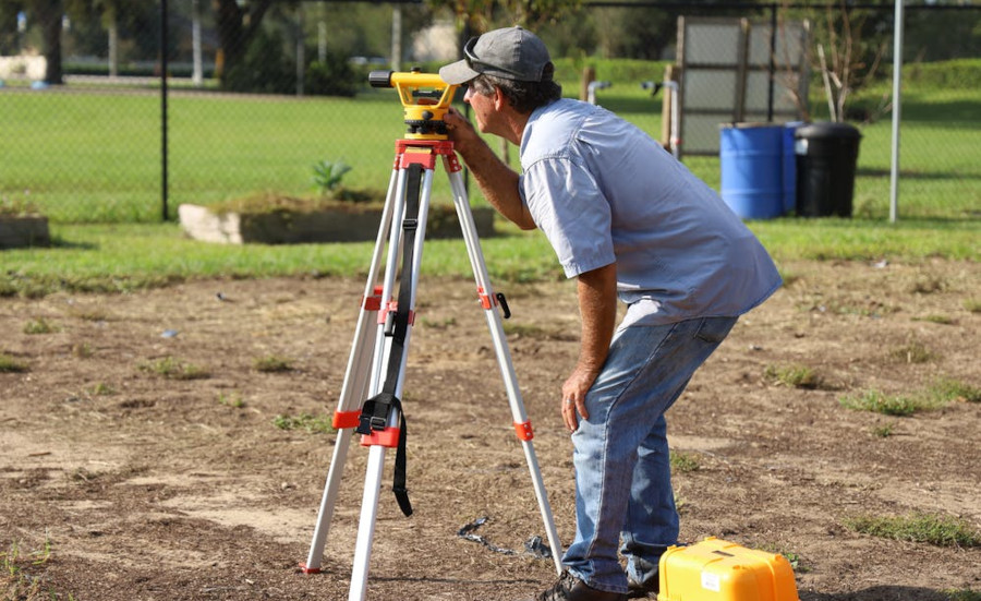
Land and Property Surveying
Land surveying is the process of measuring and mapping land boundaries, dimensions, and features to determine property lines and create accurate maps or plans. It involves using specialized tools such as total stations, GPS equipment, and drones to collect data. Surveyors analyze the data to establish legal property boundaries, support construction projects, and assist in land development. Their work is essential for ensuring accurate property records, avoiding disputes, and facilitating urban planning and infrastructure development.

Real Estate Tips
Understanding the Different Types of Measured Building Surveys
January 16, 2025Discover the key types of measured building surveys, from floor plans to heritage assessments, ensuring precise data for renovations, restorations, and structural planning…
Read More

Real Estate Tips
Insights for Successful Land Development and Planning
January 16, 2025Property surveying is vital for land development. Learn about survey types, GPS and drone technology, and best practices for ensuring accurate, legal, and sustainable projects…
Read More

Real Estate Tips
What Is Land Surveying And Why Does It Matter?
March 13, 2022What is a land survey? Why do land surveys matter? Imagine you own a house located on a lot of land. You want to build a privacy fence on the boundary between your and your neighbour's…
Read More